1. Juni 2020
Master Thesis
Making 3D landscape data of an archaeological underwater site accessible and usable for the various purposes of the scientists
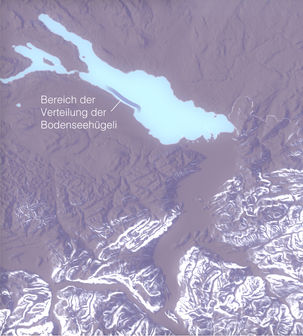
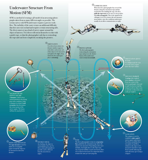
For almost a decade, methods of three-dimensional landscape surveying have been used in archaeology. On the one hand, they serve to document sites and, on the other, they allow conclusions to be drawn about their former significance. Striking structures in the 3D data sets are analyzed in depth and often represent the only source of knowledge of a newly discovered archaeological site. How such survey data must be presented and communicated in archaeology to ensure an accurate scientific process and to promote the gain of knowledge is investigated in this master project using 3D models from multibeam echo sounder data of the so-called "Bodensee-Hügeli", an underwater archaeological mystery.
This work was done within the Department of Design at ZHdK (Knowledge Visualization) together with the Department of Archaeology of the Canton of Thurgau.


